
Sources for Port Hueneme Previous Residents
The previous residents of a Port Hueneme address appear in different record eras. Property and recorder records are strongest for a land chain. Directories and census schedules are strongest for a dated household. Permits and Sanborn maps show changes to the structure. Obituaries and probate filings can identify a family connection. The table keeps the sources in their proper lane.
| Source | Years It Covers | Where Held | What It Shows |
|---|---|---|---|
| Recorder official records | County series from 1873; web cutoff unverified | Ventura Clerk-Recorder, counter, older books | Grantor, grantee, date, instrument, legal description |
| Assessor roll and maps | Current; historic cutoff unverified | Ventura Assessor and GIS | APN, situs, parcel geometry, assessment clues |
| City directory and reverse volumes | Regional years; exact Polk run unresolved | VCL, MVC, NARA, FamilySearch | Listed name, address, household, trade |
| Census schedules | Public through 1950 | NARA, Ancestry, FamilySearch | Household snapshot and place at a census date |
| Sanborn maps | Hueneme 1888, 1892, 1929 updated to 1950 | Historic-resource and map collections | Footprint, use, and block context |
| Permits and city files | OpenGov live in 2026; legacy cutoff unverified | Port Hueneme OpenGov and City Clerk | Project address, work, applicant, status |
Use the newest source first, then walk backward. Every year gap in a previous residents search should lead to a named fallback, not a blank claim that nobody lived there.
The 1873 Port Hueneme Records Cutoff
Ventura County separated from Santa Barbara County effective January 1, 1873. That county-creation date is the first major break in a Port Hueneme previous-residents search. Deeds, court material, and vital records before that date may follow Santa Barbara-era series. A record that seems absent from Ventura may simply belong to the earlier county geography.
Search the Ventura County Clerk-Recorder for the post-1873 chain, then ask the State Archives, Santa Barbara-era custodians, libraries, or historical collections about earlier land and family material. Do not invent a courthouse disaster to explain a gap. The research found no authoritative evidence of a catastrophic Ventura courthouse fire.
History clue. Put January 1, 1873 at the top of the research notes. It tells you when a county search may need to cross into Santa Barbara-era records.
Build Port Hueneme Deed Chains Backward
The deed chain begins with today's parcel, not with a guess about a past household. Copy the situs, APN, map reference, and public assessee from the assessor or GIS record. Search the public assessee as a possible grantee in the recorder index. In the matching instrument, note the seller or grantor, buyer or grantee, recording date, document number, and legal description. Search the grantor as an earlier grantee and repeat.
Ventura County's official-record series begins in 1873, but the online cutoff, current search fields, document-type list, image price, and exact image access were not verified in the self-service application. The Recorder counter is at 800 S Victoria Avenue in Ventura, with an East County office at 2100 E Thousand Oaks Boulevard, Suite A. Call 805-654-3665 or start at the official records self-service entry. Older index books and microfilm are the fallback.
- Anchor the current situs to the correct APN and parcel map.
- Search likely grantees under spelling variants and note every matching legal description.
- Read the deed metadata and identify the prior grantor, date, document number, and instrument type.
- Repeat backward through the prior grantor, keeping the same land description in view.
- Move to the counter or older books when the web index stops.
A recorder index is like a library card catalog. It points to an instrument and is not a title report, occupant list, or substitute for the document itself.
Legal Descriptions for Port Hueneme Addresses
A street number can change, but a legal description can keep a Port Hueneme address history connected. The APN is useful across the assessor, GIS, tax, and permit systems. It may change after a parcel split or merger. The legal description is the durable bridge in the recorded instrument. A plat or record map can show lots, lines, streets, and easements, but the assessor warns that assessment parcels are not necessarily legal lots.
When a deed search by street fails, search the APN history, map reference, grantor, grantee, and legal description. Ask City Planning or Public Works for address-assignment, street-name, renumbering, annexation, or conversion records. The research did not locate an official Port Hueneme street-renumbering chronology, so the request should name the exact address and date range.
- Grantor
- The party transferring an interest in a recorded instrument.
- Grantee
- The party receiving an interest in that instrument.
- Chain of title
- A linked sequence of recorded transfers for the same land.
- Legal description
- Instrument language that identifies the land beyond a mailing street line.
Port Hueneme Sanborn House Clues
Sanborn fire-insurance maps add a physical layer to previous residents research. The city historic-resource material cites Hueneme coverage from 1888 and 1892, with a 1929 map updated to 1950. Compare the footprint, use, lot line, and street context with the assessor parcel, recorder legal description, and directory address. A map can show when a structure existed or changed without naming the person inside.
Use the map years as checkpoints. If a directory lists a household before a footprint change, a permit or deed may explain the transition. If the address appears after a change, check whether the street name, parcel, or building number shifted. The map is evidence about the place, not a replacement for a family or title record.
Permits Date Port Hueneme Changes
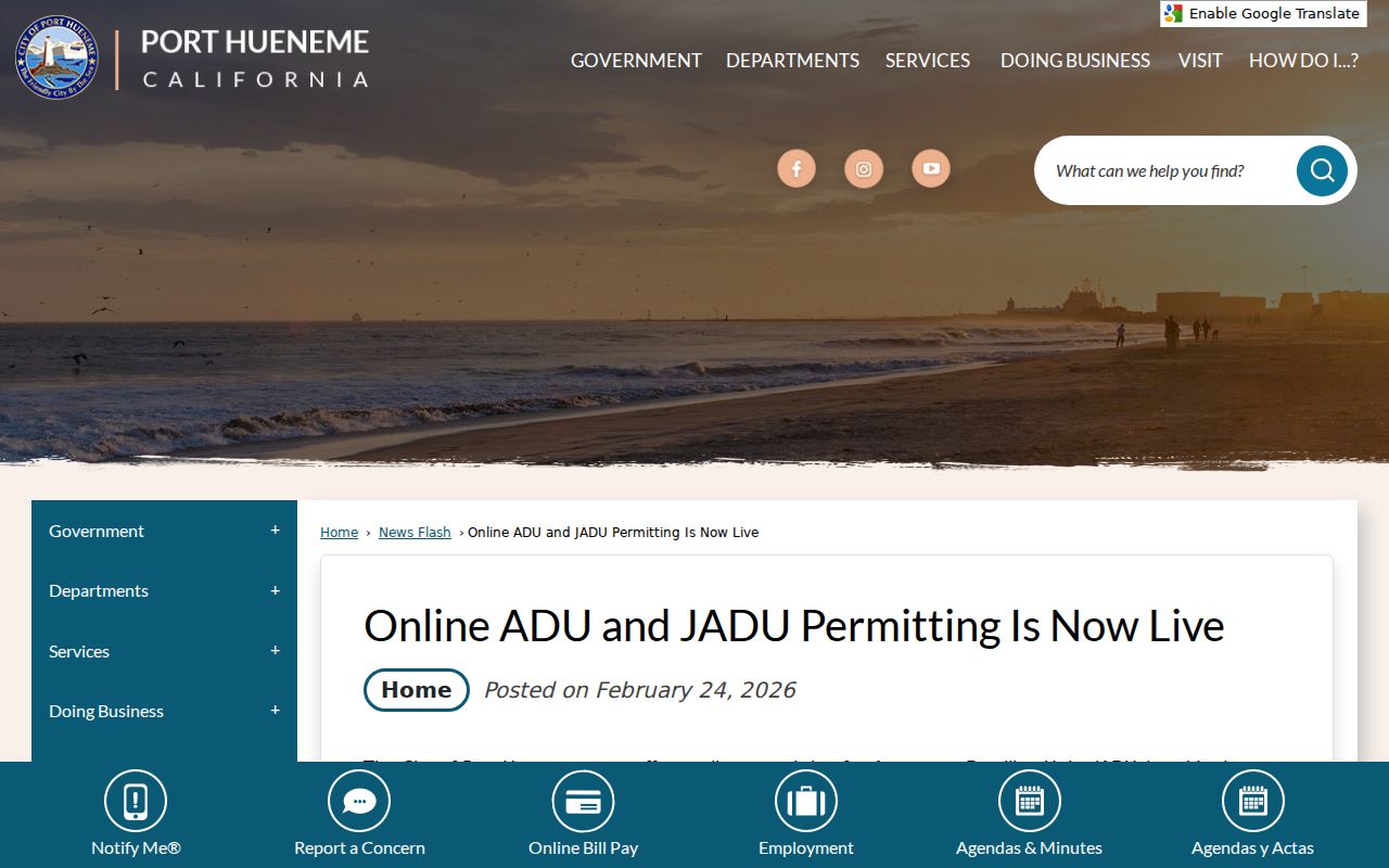
Port Hueneme permits can date construction, additions, and other work along an address history. On February 24, 2026, the city announced OpenGov submission, plan upload, staff comments, notifications, and status tracking for ADU and JADU applications. Separate applications are required for each ADU or JADU. The portal's older coverage was not verified, so legacy permit and code files belong in a City Clerk or Community Development request.
A permit identifies a project address and applicant or status. It does not prove who lived there, who owned the parcel, or when a household moved. Compare its date with a deed, assessor record, directory, census, or obituary. A permit can explain why the same address looks different across map or directory years.
The Port Hueneme OpenGov launch notice marks the current permit workflow and its separate ADU and JADU applications.
Past Port Hueneme Households
Directories, census schedules, and obituaries form the household layer of a previous residents search. A city directory can list a name, spouse notation, address, occupation, business line, or owner and renter mark. The census gives a dated household snapshot. An obituary can identify relatives and a death date. A probate file can connect an estate to a representative or heir. No one source is complete.
Search Hueneme, Port Hueneme, Oxnard, and Ventura County. The regional Polk's Oxnard directory includes Port Hueneme and El Rio, while the NARA Ventura-area inventory lists 1930 to 1931 and 1934 material. The exact local reverse-directory run remains unresolved. Ask the Ventura County Library, Museum of Ventura County Research Library, California State Library, or FamilySearch about the volume and its street section. The historical shelf is described in the Port Hueneme city directory collections page.
Directory and Census Checkpoints
Use a directory year between census dates to fill a gap, not to create false precision. Start with a likely entry, record the address and household marks, and compare the nearest 1930, 1940, or 1950 census. Then move one directory volume forward or back. A change can mean a move, death, marriage, military service, survey omission, or publisher coverage change.
- Find the earliest address entry under all Port Hueneme place-name variants.
- Transcribe the alphabetical line, street line, abbreviation key, and volume year.
- Pair the entry with the nearest public census schedule.
- Check the next directory and compare name, address, spouse, and trade.
- Use an obituary, probate file, deed, or museum clipping to explain the change.
Record a blank as a blank. A missing line does not establish that an address was empty.
Port Hueneme Obituary and Probate Endpoints
Obituaries and probate records often close a previous residents trail. An obituary may supply a spouse, parent, child, former address, or place of death. Probate can name a representative, heirs, property, or recorded instrument. Use those clues to return to a deed, vital record, cemetery index, or historical directory. For an heir question, keep the purpose personal and preserve the source date.
Vital certificates remain subject to California eligibility rules. Birth, death, public marriage, confidential marriage, divorce, and adoption records have different custodians and access paths. A historical index is a finding aid. An eligible certified copy or court file is the authoritative endpoint.
Family-history use. Probate, obituaries, and deeds can reconnect an heir trail without exposing protected household data or turning a dated clue into a current address claim.
Hueneme's Port Hueneme Name Shift
Place-name history is part of the address history. Hueneme became Port Hueneme in 1939 and incorporated on March 24, 1948. Earlier directories and deeds may use Hueneme or a regional Oxnard label. The Oxnard Harbor District formed in 1937, construction began in 1939, and the federal government took the harbor in 1942 while building a naval base. Those events split land, port, city, and federal records.
Use Spanish and English spellings and search Bard, Seabee, Point Mugu, Oxnard Harbor District, and Ventura County when a maritime or defense affiliation fits the date. The Ventura passenger and crew list from 1929 through 1956 can add a port connection. A missing city-directory line may reflect a move into military or crew records.
Port Hueneme Business History Clues
A past resident can leave a business trail even when a directory entry is hard to read. California BizFile searches entity name or file number and can expose agent, officer, address, status, and filing details. The city business-license route shows local business-tax compliance. A Ventura County fictitious-business-name file can fill a gap because a sole proprietor may not appear in the state entity index.
Use business material as an affiliation and date clue. Match the entity number, filing date, address, or named agent to the deed, directory, permit, or obituary. A business address is not automatically a home address. The California BizFile search can therefore support a previous residents trail without replacing the property or historical source.
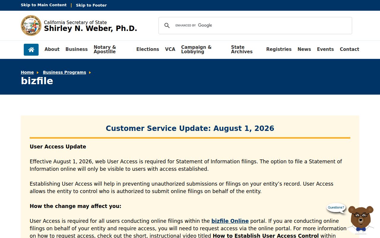
The California BizFile program page explains the state entity-search route used for an address history affiliation.
Port Hueneme Address History Checklist
Before calling an address history complete, check the keys that survive a change of name or number. Preserve the current and older street forms, APN, legal description, map reference, deed dates, directory years, census checkpoint, permit date, and any obituary or probate clue. Note which result is an owner, listed household, applicant, or family connection.
- Current parcel
- Assessor and GIS location, APN, public assessee, and map reference.
- Land chain
- Recorder grantor, grantee, date, instrument, and legal description.
- Structure date
- Sanborn footprint, permit, code file, or map change.
- Household date
- Directory, census, obituary, probate, or eligible vital source.
When current ownership is the next question, use the Port Hueneme street directory address chain. Previous residents research is strongest when it hands each question to the right source.