
Finding Who Lives Along Port Hueneme Streets
The strongest Port Hueneme street directory method follows an address through several keys. Begin with the full situs address. Use the assessor result to copy the APN and map reference. Confirm the parcel shape in county GIS, then use the public assessee as a candidate in the Ventura County recorder index. A deed can connect a current grantee to an earlier grantor. City permit files add project dates and applicant names. A historical reverse directory may add a listed household from another era.
This sequence distinguishes ownership, a mailing clue, a listed name, and a current resident. No one source answers all four. Keep the date of each result and preserve spelling variants. The county recorder describes its index like a library card catalog: it points toward a document, but it is not the underlying instrument.
- Enter the street address in the Ventura County Assessor property search, then copy the APN, situs, and any public assessment fields shown.
- Open the Ventura County PWA GIS Viewer and pan to the target parcel and its adjacent polygons.
- Use the APN, legal description, or current assessee to pivot into the recorder's deed and lien index.
- Check Port Hueneme permit and code files for project address, work, applicant, and status, keeping applicant separate from resident.
- Finish with the library or museum's reverse directories when the question reaches a past household.
Port Hueneme Address Records
A Port Hueneme street directory becomes more reliable when the address is translated into the county's own record keys. The APN is the assessment identifier. The situs is the physical location. The mailing address is where tax correspondence is sent. A legal description is the deed language that can bridge a changed street number or a parcel split. A plat or record map shows how land was laid out, but the assessor warns that its parcel lines are not necessarily legal lots.
| Address Key | Where It Appears | What It Can Do | Limit |
|---|---|---|---|
| Situs or physical address | Assessor, permits, GIS | Locate the parcel and project | May change or be formatted differently |
| APN, XXX-X-XXX-XXX | Assessor, map, tax, deeds | Bridge property records across systems | Can change after a split or merger |
| Mailing address | Assessor mailing-change material | Show where tax mail is sent | Does not prove residence |
| Legal description | Recorded deed or instrument | Anchor title history | Needs the correct instrument |
| Street name and number | Directories, permits, maps | Search a human-readable address | Old and new names may differ |
When the exact street field fails, try the county's older search tip, which may accept the situs without the street type if the live interface supports it. Do not force a result. Search the APN or legal description instead, and ask the relevant office for address-assignment or street-renaming records.
Assessor Keys for Port Hueneme Streets
The Ventura County Assessor locates taxable property, identifies the person owning, claiming, possessing, or controlling it at lien date, values it, and enrolls it under Revenue and Taxation Code section 405. The property roll and maps can therefore start a Port Hueneme street directory search. They do not serve as a household list. Public fields vary, and the interactive application was not available for a full live inspection.
The fields below are the documented trail keys, not a promise that every control appears in the current application. A public assessee or mailing address can lead to the recorder. A homeowner exemption may support an owner-occupancy clue. An SSN on an exemption claim is confidential. A separate mailing address may reflect an agent, a family member, or a business address, so it needs no stronger meaning than the record supports.
| Situs / address | Text address used to locate the physical parcel; older county guidance may omit the street type. |
|---|---|
| APN | Text key in the county pattern XXX-X-XXX-XXX; use it to connect maps and tax material. |
| Parcel map | Map reference with lot lines, dimensions, and record-map clues; assessor lines are not always legal lots. |
| Mailing address | Correspondence destination when public; separate from the property location. |
| Owner or assessee | Public ownership clue when displayed; verify through the recorded instrument. |
For a counter question, call the Assessor at 805-654-2181. Property inspection is subject to Revenue and Taxation Code section 408. The County Treasurer-Tax Collector offers tax access by APN, but a tax bill is not a resident directory.
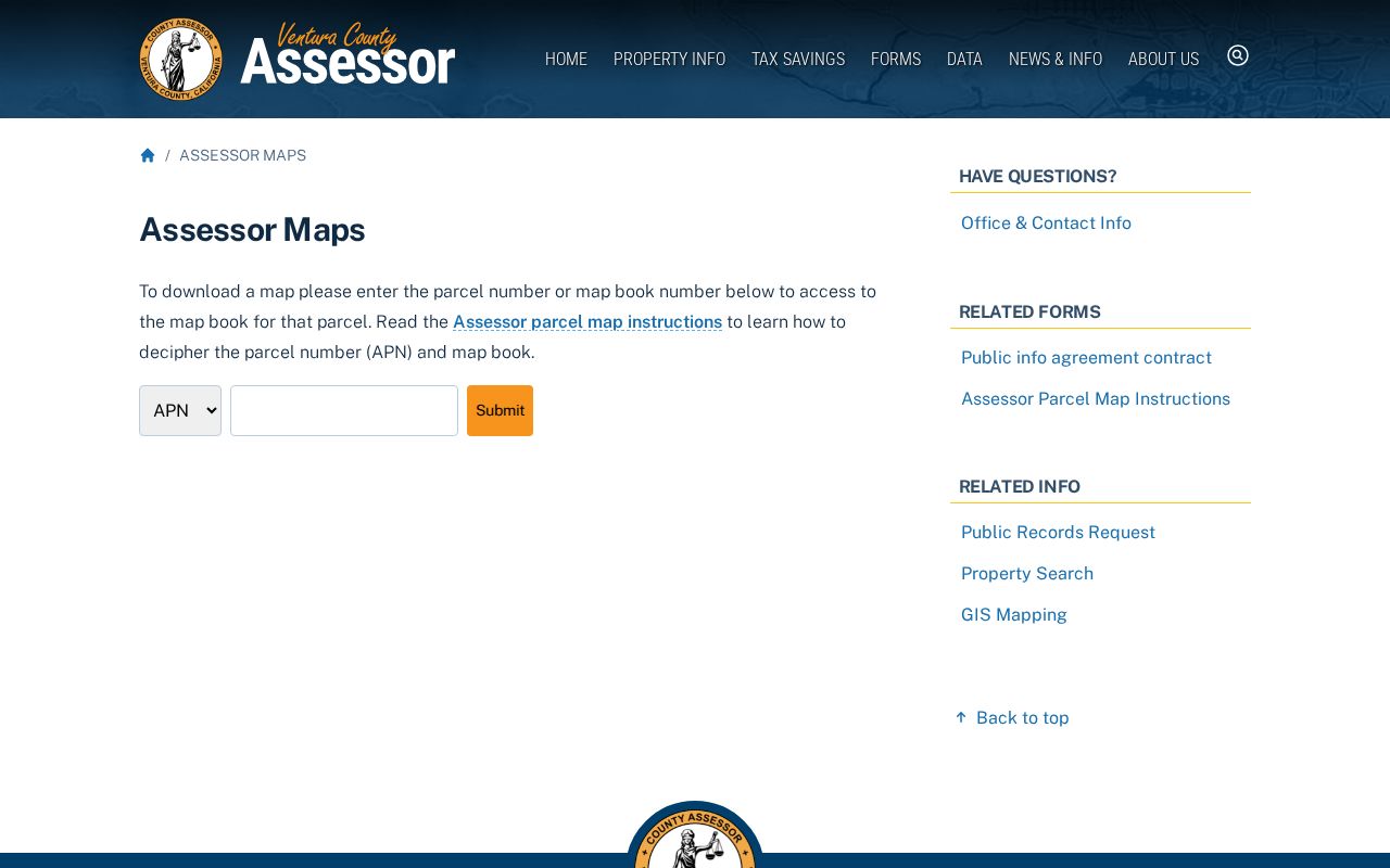
The Ventura County assessor maps page is the map-side companion to the property search.
GIS Parcels Along Port Hueneme Roads
The county GIS viewer is the visual step in a Port Hueneme street directory search. Put the target address or parcel on the map, then pan along the street and note each adjacent polygon's APN. The research capture could not verify the viewer's live selection, layer, or measurement controls, so use the map as an orientation tool and confirm each parcel in the assessor or recorder system.
Adjacent geometry shows land next to land. It does not show who is inside a building, who receives mail, or who belongs to a private association. A corner lot may face one street and carry a mailing address tied to another. Multi-unit or institutional parcels can also make a one-address search look like one household when the parcel contains more than one use.
Note: Save the APN and map date for each parcel before pivoting to ownership records, because a map view can change while a deed trail remains tied to its legal description.
The Ventura County Treasurer-Tax Collector property-tax access page provides a second county route once an APN is known.
Port Hueneme's Situs and Mailing Split
The address distinction is central to any Port Hueneme street directory. Situs means the physical property location. Mailing address means where notices or tax mail are sent. Legal description means the words in a recorded instrument that identify the land. These can point to different places. A mailing address outside Port Hueneme can be a clue about an owner or tax contact, but it is not proof that the owner lives away from the parcel.
Use the assessor mailing-change material to see the county's own separation between property location and old or new mailing address. Then compare the mailing clue with a deed, court filing, or business address only when the records share a date and identity. Do not turn a tax mailing field into a claim about household members. A public record can be accurate and still answer a narrower question than the one asked.
- Parcel
- An assessment unit identified by an APN, not automatically a legal lot.
- Situs
- The physical location of the property or structure.
- Plat
- A recorded map that lays out lots, lines, streets, or easements.
- Criss-cross directory
- A reverse directory arranged by address or street instead of alphabetically by name.
Port Hueneme Deed Chains by Address
The recorder's deed chain is the backward spine of an address search. Start with the current public assessee as a possible grantee. In the instrument, record the seller or grantor, buyer or grantee, recording date, document number, legal description, and any map reference. Search that earlier grantor as a prior grantee. Repeat until the index ends or the search reaches the county's older books or microfilm.
Ventura County recorded records begin with the county's creation in 1873, but the web cutoff and image access were not verified in the accessible self-service application. The main counter is at 800 S Victoria Avenue in Ventura, with an East County office at 2100 E Thousand Oaks Boulevard, Suite A. Call the Recorder at 805-654-3665 and use the official records index entry as a finding aid. Read the instrument before relying on a transfer or legal description.
- Write down the target situs, APN, and any map reference from the current property record.
- Search the recorder's party index under spelling variants and likely grantee names.
- Compare recording date, document type, number, and legal description to the correct parcel.
- Use the prior grantor as the next search name, then link each deed to the same land description.
- When the online path ends, request a counter search or consult older index books and microfilm.
Port Hueneme Permit Trails
Permits add a time layer to the Port Hueneme street directory. A project address, work description, applicant, status, and document can show when a structure changed or when a named person interacted with the city. On February 24, 2026, Port Hueneme announced OpenGov workflows for ADU and JADU submissions, plan uploads, staff comments, notices, and status tracking. Each ADU or JADU needs its own application.
The city's OpenGov historical scope was not verified. Older permits, code files, address assignments, and street-renaming material should go to the City Clerk or Community Development. City Planning can also explain subdivisions, zoning, historic resources, home occupations, temporary-event review, and CC&R or planned-unit-development oversight. An applicant is not automatically the owner or resident, and a permit date is not a move-in date.
Use the project address as a bridge back to the parcel and recorded documents. If an address has been renumbered, ask for the resolution or conversion record and retain both forms in your notes. A clean address trail can be more useful than a long name search.
Reverse Directories on Port Hueneme Streets
A reverse or criss-cross directory can answer a historical address question that modern property records cannot. Start with the street section, copy the listed name, occupation, address, and any owner or renter notation, then check the alphabetical entry. The Ventura County Library local-history resources include microfilm readers and Ancestry Library Edition on library computers. The Museum of Ventura County Research Library offers appointments Wednesday through Friday from 11 to 5 and has more than 170,000 items, photographs, maps, oral histories, and biographical files.
The exact local reverse-directory run was not exposed in an authoritative catalog. Ask the museum at library@venturamuseum.org and search the California State Library city-directory resources. Use Hueneme, Port Hueneme, Oxnard, and Ventura County as place variants. A directory's absence can mean an unlisted household, a missed survey, a move, a name change, or a volume gap.
A historical directory is not a current resident roll. It is a dated observation. Pair its address with a census, deed, obituary, probate file, or map before making a family-history connection.
Port Hueneme's ZIP Boundary Clues
ZIP geography can help sort a street record, but it can also create a false boundary. ZIP 93041 is the principal civilian Port Hueneme delivery ZIP and includes some Navy-associated addresses. ZIP 93043 serves Naval Base Ventura County and Port Hueneme commands. ZIP 93044 is routed through the Port Hueneme 93041 facility, but its exact current function was not published in the accessible material and should not be labeled residential. Check the USPS ZIP lookup for a full address rather than a street label alone.
The Census Bureau's ZCTA is a statistical approximation, not a postal route or a city limit. USPS offers lookup modes by address, by city and state, and by ZIP. The address mode uses company, street address, apartment or suite, city, state, and ZIP fields, with street address required. USPS warns that a ZIP result does not prove that a person or company occupies the address. For ZIP-specific detail, use the Port Hueneme ZIP code directory page after the parcel is identified.
Port Hueneme Records Searchable by Street
A street directory search should show which address-keyed records exist and what each one can establish. The coverage table keeps the chain honest. Current property data is strongest for an assessee and parcel. Recorded documents are strongest for parties and land instruments. City files are strongest for municipal actions. Historical directories are strongest for a listed household at a particular time.
| Record Set | Keeper | Street-Level Clue | Access |
|---|---|---|---|
| Assessor roll and maps | Ventura County Assessor | APN, situs, assessment, public ownership or mailing fields | Property search, maps, counter |
| GIS parcel viewer | Ventura County PWA | Adjacent parcel polygons and APNs | Online map; live controls unverified |
| Deeds, liens, plats | County Clerk-Recorder | Past owners, instrument dates, legal description | Index, counter, older books |
| Permits and code files | City of Port Hueneme | Project address, applicant, work, status | OpenGov or Clerk request |
| Reverse directories | Library, museum, archive | Listed name or household by address | In-library or collection access |
Voter files are intentionally absent from a public street-browse row. California allows approved voter-file access only for listed purposes. Utility, delivery, private association, military-security, child, and other household data are not a public Port Hueneme street directory.
Reading a Port Hueneme Street Trail
Think of the address trail as a chain: situs, APN and map, public assessee or mailing clue, acquisition deed, earlier grantor, permits, directories, and census. Each arrow asks a new question. Does the same APN remain? Does the legal description match? Does the person appear in the same year? Does the record identify a party, an applicant, or only a listed name?
Write down negative results too. A blocked assessor application does not mean a parcel has no record. An unverified GIS control does not mean adjacent parcels cannot be mapped. An absent directory entry does not mean an address was empty. The correct next move is a named counter, a request form, a library shelf, or an archive inquiry.
Address tip. Preserve the legal description and APN history when a street number changes. Those keys can connect a deed chain that a simple street search misses.
What Port Hueneme Street Directories Miss
A Port Hueneme street directory cannot name every person who uses an address. Renters, guests, children, unlisted households, utility customers, delivery recipients, and private association members may not appear in any lawful public source. DMV address data is restricted by the federal Driver's Privacy Protection Act. Safe at Home can replace a qualifying participant's address in government records. Military and protected household information may be withheld or handled through a separate custodian.
California's stalking law, Penal Code section 646.9, and section 653.2 address harmful pursuit or electronic distribution of identifying data. Civil harassment relief is available under Code of Civil Procedure section 527.6. Elections Code section 18109 also restricts voter-data misuse. A street record is for a narrow, lawful personal purpose, not intimidation or surveillance.
Lawful use. Use Port Hueneme address records for family history, property curiosity, civic research, or a documented personal matter. Never use a street directory to stalk, harass, threaten, or harm another person.